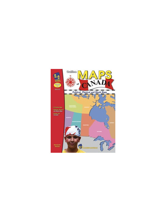
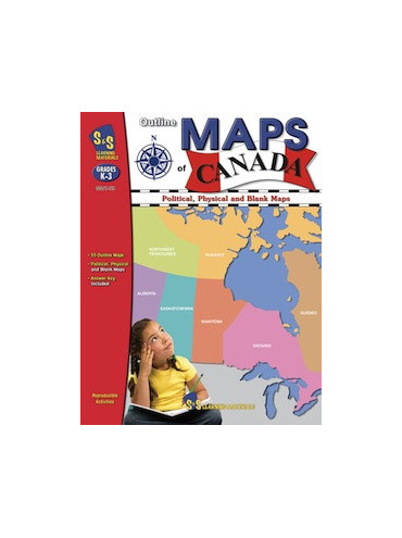
"Outline Maps of Canada" is an important resource for use in support of existing social studies curriculum. Almost every map included can be used to teach or review the use of: directions on a compass rose, symbols on a legend and mapping terms such as border, boundary and hemisphere. The maps will help students: recognize the shape of Canada; locate Canada in North America and the world; recognize and locate Canada's provinces, territories, oceans, main bodies of water, capital cities and inhabited locations; begin to recognize and use parallels of latitude and meridians of longitude; discover landforms, rivers and lakes in each province or territory; provide starting points for inquiry/research on specific provinces and territories; use a grid on a map of Canada and discover the locations of regions in Canada. 64 pages.