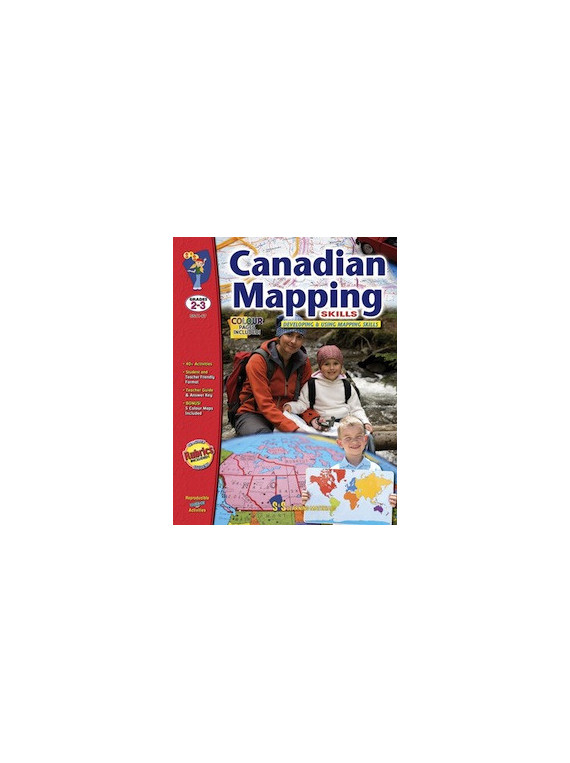
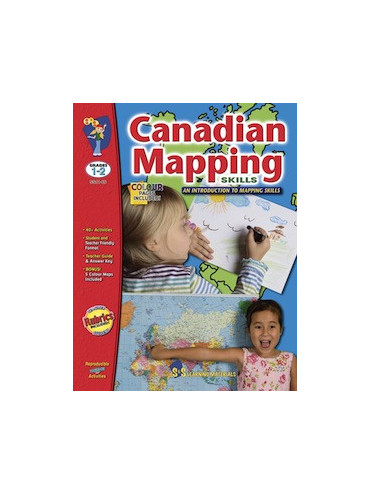
Strengthen your students mapping skills and understanding of geographic terminology through the usage of the various activities in this resource. Students will explore Canada using maps and will learn about its political divisions and its position in the world. They will be introduced to the terms hemishpere, continent, latitude, longitude, pictoral symbols, legend, key, scale, landforms, and cardinal and intermediate directions. Exploring different maps of one's native country is a wonderful way to become acquainted with it. This book supports many of the fundamental concepts and learning outcomes from the curriculums for the province of British Columbia, Grade 3, Social Studies, Human & Physical Environment. 80 pages plus 5 full colour maps.